
Overview
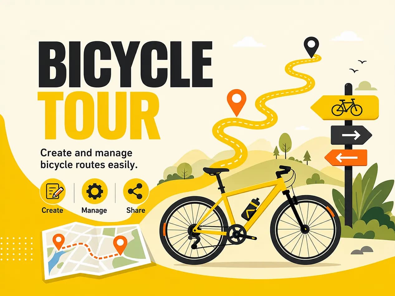
The Tour Tool lets you build a self-guided bike route app with no installation required — riders open it in their phone's browser. An app can show routes, checkpoints and GPX tracks on the map. Every checkpoint has its own icon and content, opens automatically when a rider gets close, and closes on its own and returns them to the map if they don't interact with it. Content — checkpoint text, instructions, everything — can be automatically translated into any language by client, so you don't have to write or maintain translations yourself.
It works for anyone who wants an easy-to-share route app — bike rentals, museums, tourism boards, event organizers, walking tours, and so on.
How it works
Riders can get to the app link however you distribute it — a QR code on a poster or the bike itself, a link on your website, a text message, whatever's convenient. Once they open it, they choose a language and a route, then follow the map. Checkpoints along the route open automatically when the rider gets close, show the content you've set up for that stop, and close automatically if left untouched. Progress is saved on the rider's own device, so they can pause and pick the route back up later. Nothing is tracked live and no location data is stored online — location only exists locally on the visitor's device to trigger checkpoints.
For organizers
In the console, you place checkpoints on the map, assign each one a custom icon and content, and attach GPX tracks. Each app supports up to 10 routes, each route up to 100 checkpoints, and up to 8 GPX tracks per route. Changes are saved as a draft and only go live when you publish. There's a live preview so you can check a route before publishing it.